 My Travel Map |
Return Home
After growing up in Charlotte, North Carolina I decided to get a change of scenery from city life and attended Appalachian State University in rural Boone, North Carolina. Having a life-long interest in science, I majored in Geography with a concentration in GIS (Geographic Information Systems). Upon graduating college in 2010 I served as the GIS Planner for the City of Greer, SC where I was a one man GIS department. During this time I discovered a passion for writing code and taught myself Python and JavaScript in my spare time at home. I oversaw the implementation and development of Greer's web GIS platform using ArcGIS Server and wrote Greer's custom web-based GIS viewer using the ESRI JavaScript 4 API. After seven years with Greer I decided to transition to the private sector and joined SynTerra Corporation in downtown Greenville, SC as the Graphics & Technology Group Leader specializing in GIS web development. After three years with SynTerra I joined Greenville Water, the largest drinking water utility in South Carolina, as the GIS Manager.

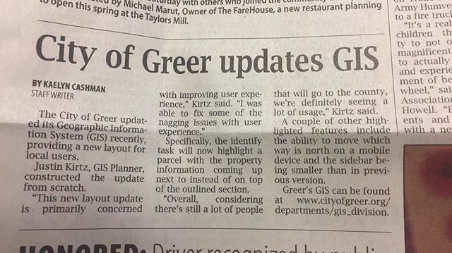
The Greer Citizen, March 14, 2018
I currently live in the Greenville area with my wife Allison and our beautiful daughter, Scarlett. We also have two dogs and five snakes; a corn snake, an eastern kingsnake, a ball python, a bullsnake, and a western hognose snake.
Popups have been disabled. To enable popups, switch back to Live Mode.
Click the icon to create a 3D screenshot
Point Styles
Polyline Styles
Polygon Styles
Draw and measure an area
Draw and measure a line
Draw and measure an area
Draw and measure a line
Use a geometry button to select travel location points on the map to query
Area: 0.00 ft2
Radius: 0.00 ft

Querying, please wait...
Reset Chart